ZARRiG – West Pomeranian Atlas of Plant and Fungi Distribution
- Home
- ZARRiG – West Pomeranian Atlas of Plant and Fungi Distribution
1,296 total views, 4 views today
|
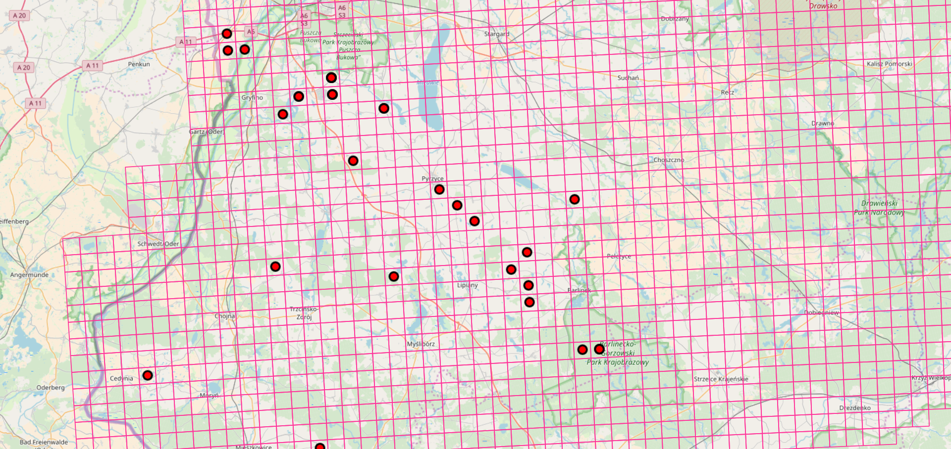
The need to define the scope of biodiversity protection and to attempt to estimate biodiversity is greatly improved by online information systems. The database on vascular plant and fungi localities in Western Pomerania is integrated with the herbarium. Floristic and mycological data have been collected in the area for over 150 years, first by German botanists and naturalists, and after 1945 by Polish ones. In 2006 we started our work (Agnieszka Popiela, Anetta Wieczorek, Andrzej Łysko), whose aim is to supplement and summarize the knowledge about flora and fauna resources of north-western Poland on the basis of all available historical and contemporary data, both published and unpublished. The floristic data come from the botanical literature: floristic and phytosociological since the beginning of the 19th century, from the authors’ own materials, herbal materials stored in institutional herbaria (mainly in the Herbarium Stetinense) and in the herbaria of private authors and collaborators, as well as data collected especially for this purpose in the field. At present, the database has about 600,000 records. The boundaries of the database are defined spatially by: the Polish border in the west, the Warta and Noteć Valleys in the south, the Gwda, Czernica and Wieprza rivers in the east and the Baltic coast in the north. The ZARRiG server has been configured in the Linux Ubuntu 17.10 environment for data sharing tasks on the network. Available services include:
In addition, there is a web browser application that allows you to enter the location data of plant and fungi sites and species and to print herbal labels. The application visualizes data in the form of attribute sets and thematic maps. Thematic maps enable selection of map bases from those commonly available in the network, e.g. OpenStreetMaps geo-portal or BingMaps geo-portal. These maps have full functionality allowing both editing and entering new data. All information can be exported to Excel, kml or pdf files. The application works with JavaScript, PHP and SQL technologies and has the character of a website available under the domain of zarrig.pl. This website is protected by SSL certificate with 2048-bit encryption, protecting against password theft and unauthorized access. |
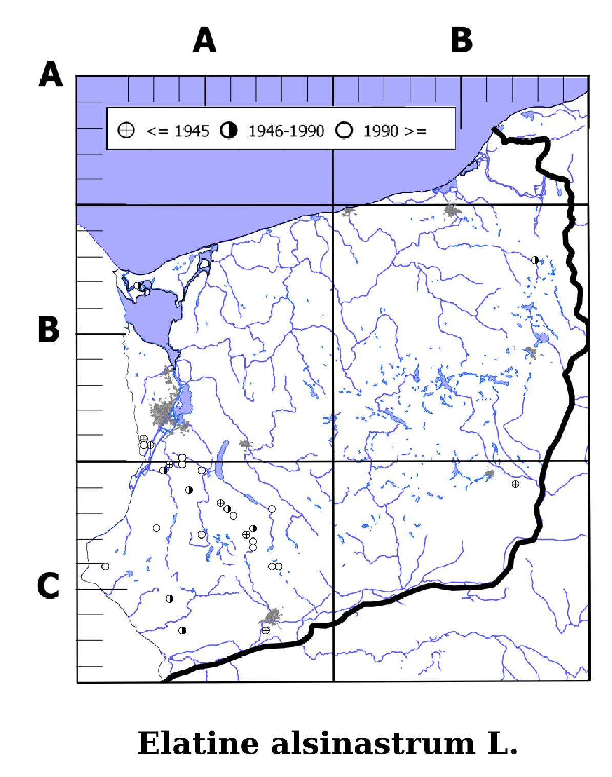
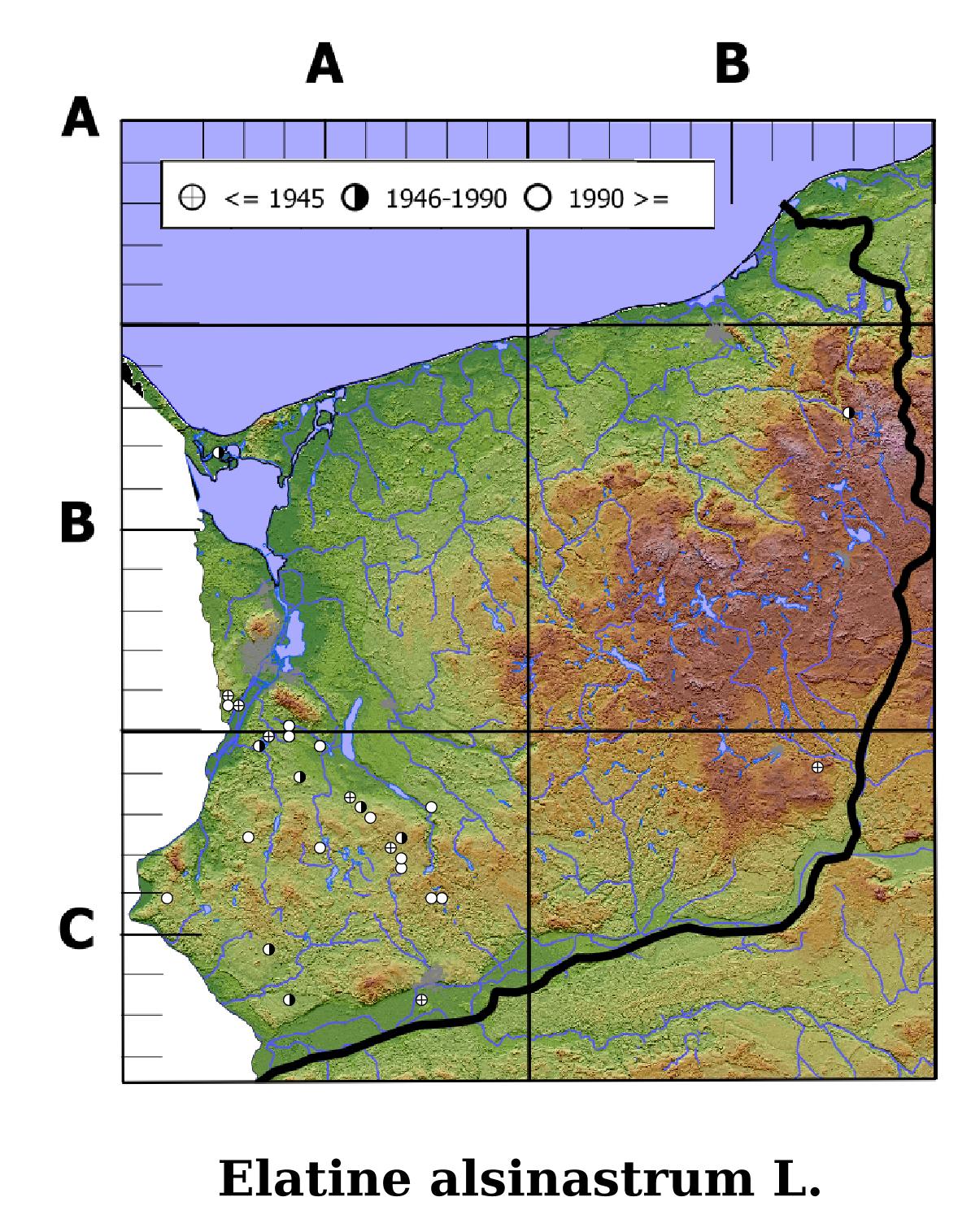
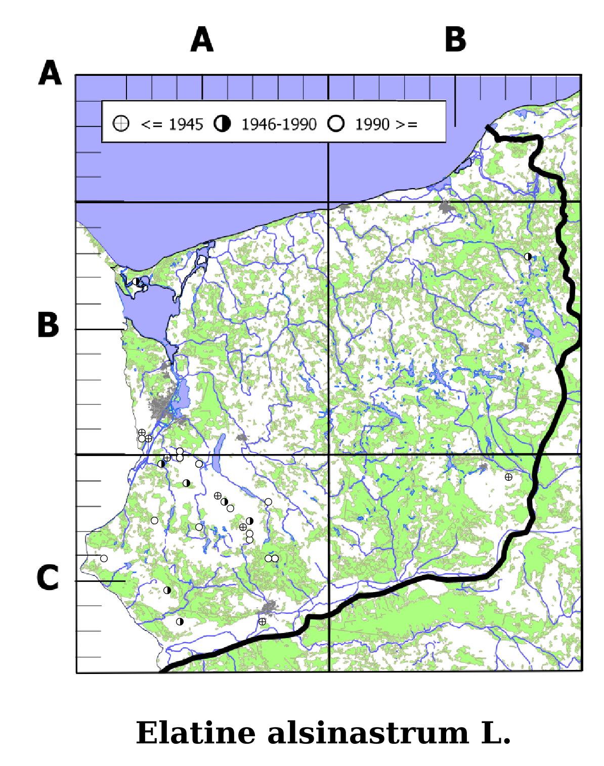
Elatine alsinastrum L. |